Map shows strategic importance of recently-captured Tall Harra in northwest Daraa
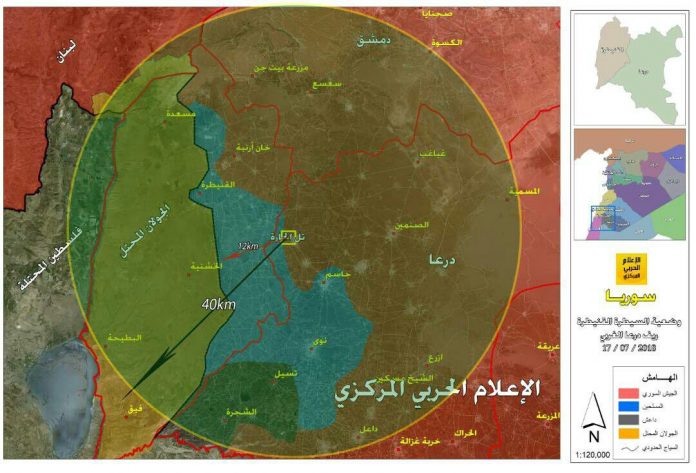
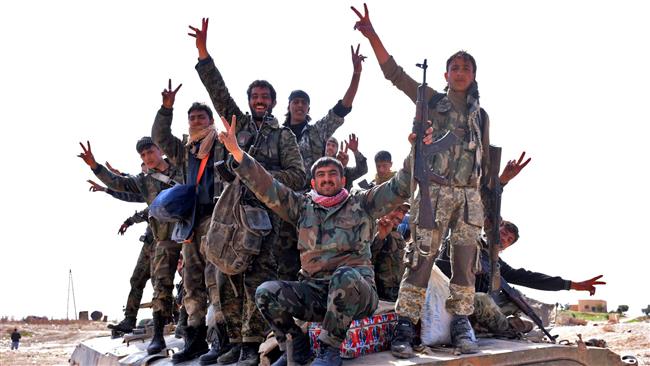
The Syrian Forces have managed to recapture the strategic Tall Harra located in the northwestern flank of Daraa province following fierce battles with rebel fighters.
Having been under rebel control since 2014, the extremely-significant hilltop is the highest peak across Daraa province with an altitude of 1075 meters; located 12 km from Quneitra, 55 km from Daraa city, and 16 km from As-Sanamayn city to the east.
As shown in the map, Tall Harra overlooks most of the southern and western Damascus countryside, Daraa-Damascus highway, northern sector of Daraa and Quneitra all the way to the Occupied Golan Heights and part of northern Palestine.
The town of Harra fell to the Syrian Army control after militants concluded a surrender deal.
However, the hilltop was retaken after ferocious clashes with al-Qaeda-linke